Applications
Aerial imagery.
Defined by the need.
Five areas of focus. A project-specific approach to each. We’re building relationships with organizations that need a better view of assets, terrain, and changing conditions.
01 / Power & utilities
A better view of the corridor.
Utility inspections begin with knowing what to look for. Blackline’s focus is aerial image collection that helps utility teams document assets and identify areas for closer review.

Potential project scope
- Visible-condition imagery of poles, towers, and associated infrastructure
- Vegetation and access documentation along a defined corridor
- Repeat photography to support comparison over time
Useful handoff
Organized photographs and video, with location information where supported and agreed. Thermal collection, if needed, is scoped around the equipment and conditions required.
Imagery supports the utility’s inspection process. Engineering conclusions, electrical diagnoses, and clearance measurements require an agreed specialist workflow.
Discuss this application02 / Bridges & infrastructure
Bring the details into view.
Aerial imagery can help inspection teams document visible conditions from selected viewpoints. The collection plan should follow the inspector’s needs and the limitations of the site.

Potential project scope
- Overview and detail imagery of agreed structural elements
- Visual records for maintenance planning and project documentation
- Repeat viewpoints for change review where practical
Useful handoff
Photographs organized by structure, area, or agreed naming convention. Coverage and any inaccessible areas are documented at handoff.
This is image collection in support of qualified inspectors. It is not a structural assessment or a replacement for required hands-on inspection.
Discuss this application03 / Wildfire & incident support
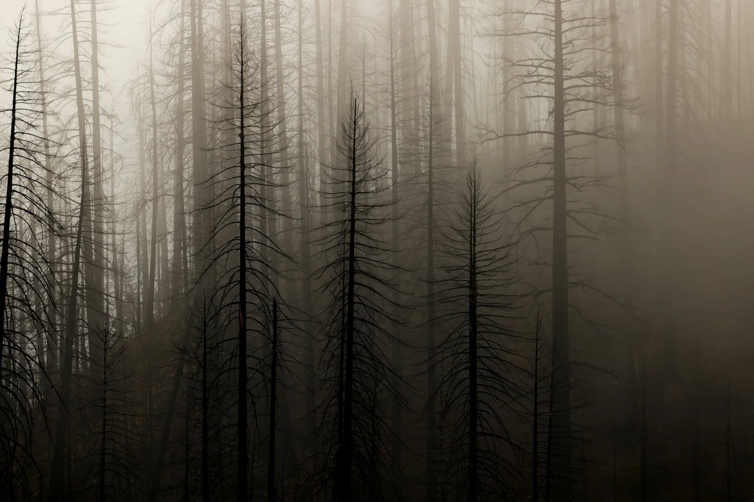
A clearer picture of changing terrain.
Fire aviation is part of Blackline’s foundation. The near-term focus is imagery that can support situational awareness, planning, and documentation in coordination with the responsible agency.
Potential project scope
- Pre-incident terrain and access documentation
- Incident-support imagery when requested and authorized by the responsible agency
- Post-fire photography of affected areas and visible conditions
Useful handoff
A defined imagery package for the intended users. Thermal imagery, live sharing, and longer-duration missions are discussed individually and are not assumed capabilities.
Incident flights require agency coordination and applicable approvals. Direct fire suppression and cargo delivery remain longer-term development interests, not services offered here.
Discuss this application04 / Wildlife & natural resources
Observe with purpose.
Resource teams need imagery that answers a specific management or research question. Blackline is exploring collection projects shaped by wildlife professionals, land managers, and their field protocols.
Conceptual graphic
Potential project scope
- Habitat and landscape documentation
- Support for authorized observation or survey projects
- Repeat imagery of selected resource areas
Useful handoff
Raw imagery and available capture information, organized to the project’s requirements. Species identification, counts, and biological interpretation remain with qualified specialists unless separately arranged.
Wildlife work is evaluated around disturbance, species sensitivity, access, and the permissions needed. No detection rate or survey completeness is promised.
Discuss this application05 / Mapping & orthophoto imagery
Collect for the workflow you already use.
A useful mapping project starts before takeoff. Image coverage, overlap, resolution targets, and control requirements should be defined with the team that will process and use the data.
Conceptual graphic
Potential project scope
- Raw aerial photography for client-managed processing
- Collection planned for orthophoto or photogrammetry workflows
- Repeat site photography for documentation and comparison
Useful handoff
Original photographs and available image metadata. Processed orthophotos, GeoTIFFs, models, or other GIS outputs are only included when a processing workflow and provider have been agreed.
Image collection is the initial focus. Survey-grade accuracy, ground control, and finished mapping products are not assumed inclusions.
Discuss this applicationWhat do you need to see?
Tell us about the site, the decision, and the imagery that would help.